Delayed snowmelt, rain, impending heat make flood predictions challenging in B.C.
Residents of British Columbia's southern Interior are keeping a careful watch on the weather as showers or heavier downpours could cause damaging floods from runoff-swollen rivers.
Flood watches remain posted across the Shuswap region, covering the Shuswap, South and North Thompson rivers and their tributaries as well as Quesnel Lake and the Quesnel and Horsefly rivers in the Cariboo region.
The River Forecast Centre says waterways in many parts of the Interior are very high due to the cold spring and delayed snowmelt, making them extremely vulnerable to heavy rainfall.
Unsettled weather has brought showers to the Thompson and Shuswap areas and forecasts call for between 10 and 30 millimetres before the system moves on later in the week.
Environment Canada says sunshine and temperatures in the low- to mid-30s are to follow, raising the risk of rapid snowmelt as forecasters warn the melt is up to four weeks behind schedule and only half of the snowpack had thawed by last week.
A flood watch is also in effect for the Liard River and its tributaries across northeastern B.C. and the forecast centre says that could climb to a flood warning depending on where an expected 30 to 60 millimetres of rain falls by late Wednesday.
CTVNews.ca Top Stories

BREAKING King Charles' cancer treatment progressing well, says Buckingham Palace
King Charles III’s doctors are 'sufficiently pleased' with his cancer treatment and he is expected to return to public-facing duties, Buckingham Palace announced on Friday.
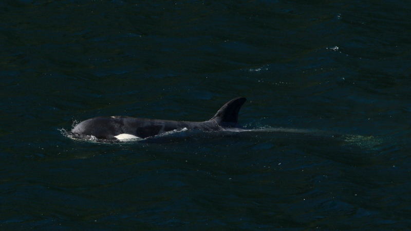
BREAKING Orca calf that was trapped in B.C. lagoon for weeks swims free
An orca whale calf that has been stranded in a B.C. lagoon for weeks after her pregnant mother died swam out on her own early Friday morning.
'Unacceptable': Trudeau reacts after AFN chief says headdress taken from plane cabin
After the Assembly of First Nations' national chief said her headdress was taken from an airplane cabin this week, Prime Minister Justin Trudeau called the incident 'unacceptable' and a 'mistake' on the part of Air Canada.
DEVELOPING Bird flu outbreaks: WHO weighs in on public health risk
The current overall public health risk posed by the H5N1 bird flu virus is low, the World Health Organization said on Friday, but urged countries to stay alert for cases of animal-to-human transmission.
Sophie Gregoire Trudeau on navigating post-political life, co-parenting and freedom
Sophie Gregoire Trudeau says there is 'still so much love' between her and Prime Minister Justin Trudeau, as they navigate their post-separation relationship co-parenting their three children.
Regina police officer injured after being accidentally shot by fellow officer's gun
An investigation is underway after a Regina police officer was accidentally shot by a fellow officer’s gun during the search of a house early Friday morning.
From faulty kids' cribs to flammable kids' bathrobes, here are the recalls of the week
Health Canada issued recalls for various items this week, including kids’ bathrobes, cribs and henna cones.
Taylor Swift dons Montreal designer's dress in 'Fortnight' video
A pair of Montreal designers' work has now been viewed over 41 million times. Taylor Swift dons a Victorian throwback black gown in her latest music video, 'Fortnight', designed by UNTTLD due Simon Belanger and Jose Manuel Saint-Jacques.
Island near Mull of Kintyre for sale for US$3.1 million
An idyllic 453-acre private island is up for sale off the west coast of Scotland and it comes with sandy beaches, puffins galore, seven houses, a pub, a helipad and a flock of black-faced sheep.


