'Messy mix' of rain, snow and ice in store for Lower Mainland, Vancouver Island

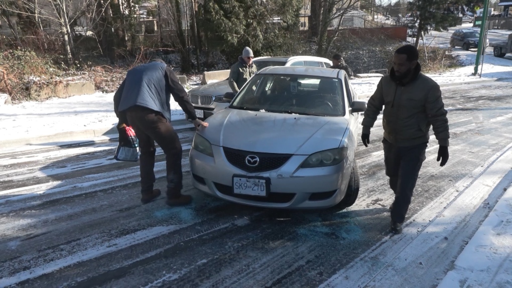
Just as the frigid temperatures are forecasted to ease up, another blast of winter weather is headed to Vancouver Island and and the Lower Mainland—and commuters should take caution to avoid the chaos that ensued when snow fell last Thursday.
A special weather statement issued by Environment and Climate Change Canada Sunday afternoon says a Pacific low pressure system is headed toward the South Coast. The alert comes just hours after Arctic outflow warnings were lifted in the area.
The statement covers Metro Vancouver, central and western Fraser Valley, the Sunshine Coast, Greater Victoria, and Inland and East Vancouver Island.
Starting Tuesday evening, “the moisture from this system will interact with arctic air already in place over the south coast to bring a messy mix of rain, freezing rain and snow,” the weather agency says.
The event is expected to start with snow on Tuesday evening, and then switch to a “prolonged period” of freezing rain or ice pellets overnight and into Wednesday morning, according to ECCC.
“The potential for heavy snow and freezing rain during this time could pose a hazard to travel and outdoor activities,” the alert reads.
Extreme cold warnings remain in place for parts of northeastern and southeastern B.C., while a swath of the northern Interior is under a new snowfall warning. The arctic outflow warning—for strong winds and cold wind chill—is still in effect in the Sea to Sky Corridor and inland sections of the North and Central coast.
CTVNews.ca Top Stories

BREAKING Donald Trump picks former U.S. congressman Pete Hoekstra as ambassador to Canada
U.S. president-elect Donald Trump has nominated former diplomat and U.S. congressman Pete Hoekstra to be the American ambassador to Canada.
Genetic evidence backs up COVID-19 origin theory that pandemic started in seafood market
A group of researchers say they have more evidence to suggest the COVID-19 pandemic started in a Chinese seafood market where it spread from infected animals to humans. The evidence is laid out in a recent study published in Cell, a scientific journal, nearly five years after the first known COVID-19 outbreak.
This is how much money you need to make to buy a house in Canada's largest cities
The average salary needed to buy a home keeps inching down in cities across Canada, according to the latest data.
'My two daughters were sleeping': London Ont. family in shock after their home riddled with gunfire
A London father and son they’re shocked and confused after their home was riddled with bullets while young children were sleeping inside.
Smuggler arrested with 300 tarantulas strapped to his body
Police in Peru have arrested a man caught trying to leave the country with 320 tarantulas, 110 centipedes and nine bullet ants strapped to his body.
Boissonnault out of cabinet to 'focus on clearing the allegations,' Trudeau announces
Prime Minister Justin Trudeau has announced embattled minister Randy Boissonnault is out of cabinet.
Baby dies after being reported missing in midtown Toronto: police
A four-month-old baby is dead after what Toronto police are calling a “suspicious incident” at a Toronto Community Housing building in the city’s midtown area on Wednesday afternoon.
Sask. woman who refused to provide breath sample did not break the law, court finds
A Saskatchewan woman who refused to provide a breath sample after being stopped by police in Regina did not break the law – as the officer's request was deemed not lawful given the circumstances.
Parole board reverses decision and will allow families of Paul Bernardo's victims to attend upcoming parole hearing in person
The families of the victims of Paul Bernardo will be allowed to attend the serial killer’s upcoming parole hearing in person, the Parole Board of Canada (PBC) says.


