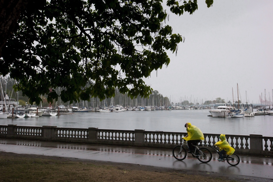
Wind gusts reaching 70 kilometres per hour are expected to whip B.C.’s South Coast as a wicked winter storm pounds the area.
Environment Canada has issued special weather statements for 23 regions across the province, stretching from Vancouver Island to the mainland and all the way to the Alberta border.
A deluge is expected for Metro Vancouver and the Fraser Valley, with upwards of 150 millimetres of rain forecast to fall in just 36 hours, easing Friday evening.
The rainfall could be lead to localized and flash flooding and pooling water in low-lying area.
“I would get your drains cleared out if you haven't done so already. Any storm drains in your area too - because we've seen what a lot of rain in a short period of time can do,” said CTV weather expert Marke Driesschen.
The weather agency issued wind warnings in many parts of the province, including the north and central coasts, Haida Gwaii, northern, eastern and western Vancouver Island and the Sunshine Coast.
Environment Canada told residents of eastern Vancouver Island the wind could affect driving conditions, and said to keep away from wooded areas to avoid falling trees or branches.
“Damage to buildings, such as to roof shingles and windows, may occur. Loose objects may be tossed by the wind and cause injury or damage,” said a special bulletin for the area.
The winds will be the worst over Haida Gwaii, the agency says, but will also whip parts of Vancouver Island and the Sunshine Coast.
A windstorm in August toppled thousands of trees and knocked out power to hundreds of thousands of people across the Lower Mainland.
BC Hydro says members of its storm response team have already been dispatched to hard-to-reach areas on Vancouver Island.
“We’ve pre-deployed some crews to the island, specifically Port Hardy as well as Ucluelet. We also deployed crews to the Sunshine Coast this morning,” said BC Hydro spokesperson Simi Heer. So, if those areas are hit hard, we will be ready to go.”
High winds prompted the cancellation of several ferries Thursday morning, including the Comox-Powell River route.
British Columbians travelling by ferry are advised to visit the BC Ferries website for updates about cancellations and delays.
The frontal system moving through the coastal region was expected to translate to snowfall in higher elevations, including B.C.’s Interior, Howe Sound and the North Shore.
Environment Canada warned drivers to brace for winter condition on the roads.
Strong rains could also prompt a rapid snow pack melt on local mountains, according to the BC River Forecast Centre, which warned that flow would contribute to the pulse of runoff.
It expected major streams across the Lower Mainland, North Shore and some of Howe Sound could rise high enough to experience some minor flooding.
It warned the public to stay away from rivers and streams over the risk of potentially unstable riverbanks.
High winds at Boundary Bay: Kite-boarder's delight. Heavy rain still to come. #BCstorm pic.twitter.com/66jxfdhHhS
— St John Alexander (@ctv_stjohn) November 12, 2015


