Water levels are creeping up in some rivers and streams in southeastern British Columbia, but the River Forecast Centre shows other waterways around the province appear to be receding.
The centre says rivers that surged to all-time highs in B.C.'s Boundary region last week may now only cause minor flooding.
Dave Campbell with the River Forecast Centre said there's still potential for trouble because a significant snowpack remains at higher elevations and if it melts rapidly, the region could see more flooding over the weekend.
The centre is maintaining a flood watch for the Slocan River and a high streamflow advisory it issued for the Kootenay River.
The Regional District of Central Kootenay says it is closely monitoring those levels because the forecast calls for high temperatures, rain and the chance of thundershowers, with the potential to cause rapid changes in the rivers.
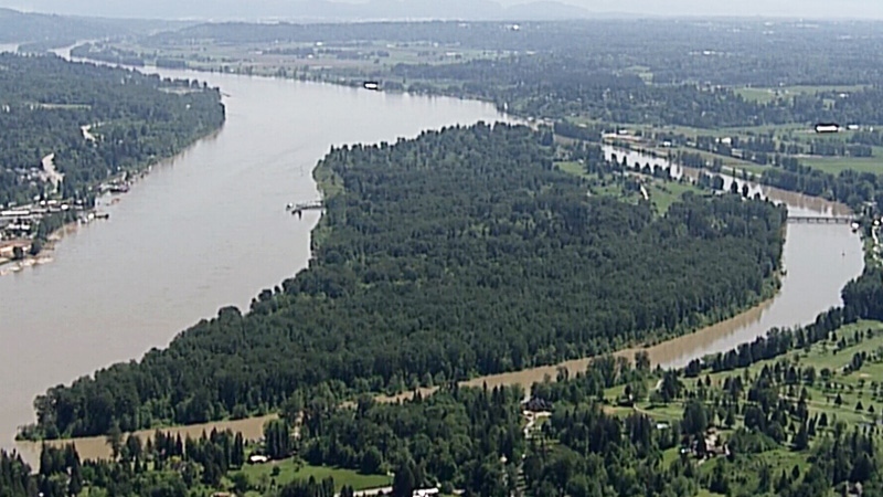
A high streamflow advisory for the Fraser River between Prince George and Quesnel has ended, but the River Forecast Centre is maintaining the advisory for the lower reaches of the Fraser.
Overall, it's been a busy flood season so far, Campbell said.
“Generally speaking, we've seen flows that are in the once in 20 years, or once every 50 years kind of range for most areas of the province,” he said. “So I think it's fair to characterize this as a pretty significant flood year.”
Rising waters forced about 4,000 people across the province from their homes last week, but many residents have since been allowed to return.
Chris Duffy with Emergency Management BC said 341 properties were still under evacuation orders Thursday, though residents of about 7,000 more homes had been warned that they may need to leave at any time.
Soldiers from Edmonton called in to help with the flood response are set to return home over the weekend.
A contingent of 100 B.C.-based Canadian Armed Forces troops will remain in the Chilliwack area to help with flooding, if needed.


