Tens of thousands of residents of B.C.'s South Coast were left in the dark again as a third storm broke land in as many days.
The third in a barrage of wind- and rainstorms this week hit Saturday afternoon, knocking down trees and power lines across the Lower Mainland and Vancouver Island.
BC Hydro deployed crews across the coast, who are already working on dozens of outages. As of 5 p.m., more than 16,000 customers were affected by outages in the Lower Mainland alone. Three hours later, power had been restored to about 4,000 customers, but with an unpredicatble storm path more lines could be knocked down overnight.
For some customers, Saturday's outages were the second in a row. On Friday, 190,000 customers were affected by outages at the height of the second storm.
Although the worst of the storm was expected Saturday evening, the first taste was enough to cause major ferry cancellations and close Vancouver's largest park.
Sailings on four major BC Ferries routes were cancelled due to severe weather conditions. The sailings between Tsawwassen and Swartz Bay, Tsawwassen and Southern Gulf Islands, Tsawwassen and Duke Point as well as Horseshoe Bay and Departure Bay were cancelled from 3 p.m. onwards.
Vancouver's Park Board also closed Stanley Park for the first time in more than a year due to the storm. The causeway through the park connecting downtown Vancouver to the North Shore will remain open, but the rest of the park closed to pedestrians and vehicles at 8 p.m. It will remain closed until the storm subsides on Sunday.
Several parks and a cemetery were also closed on Vancouver Island due to the risk of falling trees.
Fuelled by the remnants of Typhoon Songda – a storm system that formed over the Pacific Ocean earlier this week – the final storm was expected to be the most powerful of the system that has pummeled the South Coast with rain.
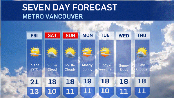
Environment Canada issued special weather statements earlier this week warning that a total of between 100 and 300 millimetres could fall on the affected area by the end of the trio of storms.
The weather statements have since ended, but much of the South Coast falls under wind and rainfall warnings.
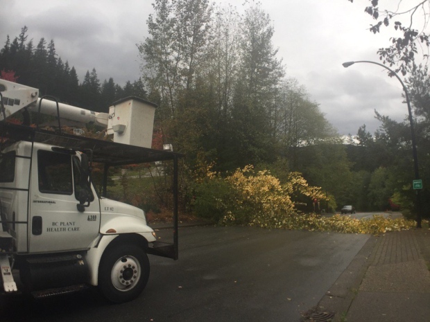
Crews clean up a fallen tree in North Vancouver. (Twitter @bobmackin)
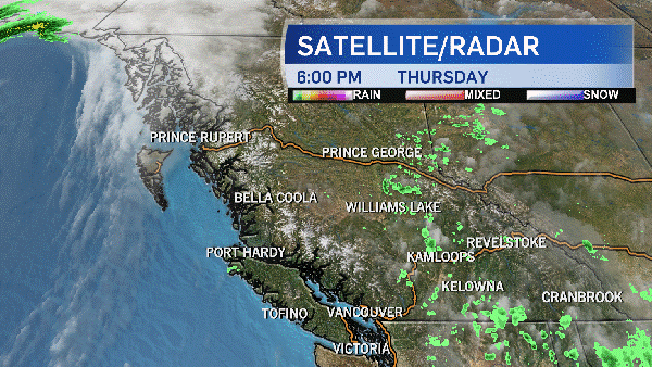
The wind warning was issued for East and Inland Vancouver Island, the Fraser Valley, Greater Victoria, Howe Sound, Metro Vancouver, the Southern Gulf Islands and the Sunshine Coast. The federal weather agency forecasted "damaging winds" of at least 80 km/h at the height of the storm. In some areas, gusts could reach a speed higher than 90 km/h in the mid-evening, the prediction said.
As the tail end of the storm passes over land, gusty southerly winds exceeding 90 km/h are expected to affect Metro Vancouver and Fraser Valley West, as well as Howe Sound and the Sunshine Coast.
"This threat is greatest from mid-evening to early Sunday morning," the warning says.
Environment Canada warned that high winds can toss loose objects and cause tree branches to break, so residents of the affected region should avoid wooded areas when possible. The warning came a day after a 15-year-old died when he was crushed by a falling tree near a Surrey high school.
In addition to wind warnings, East Vancouver Island, Howe Sound and Metro Vancouver also fell under a rainfall warning. In Metro Vancouver, the North Shore was expected to be hit hardest by rain, but all three areas can expect a total of more than 50 millimetres to fall between Saturday night and Sunday morning.
"Rainfall amounts will be highly variable with this storm," the rainfall warning says.
"Heavy downpours are a certainty, along with a risk of thunderstorms, especially behind the system (Sunday)."
Residents of the areas under the rain warning should be wary of the possibility of flash flooding and water pooling on roads.
Follow CTV Vancouver on Twitter for the latest storm updates.