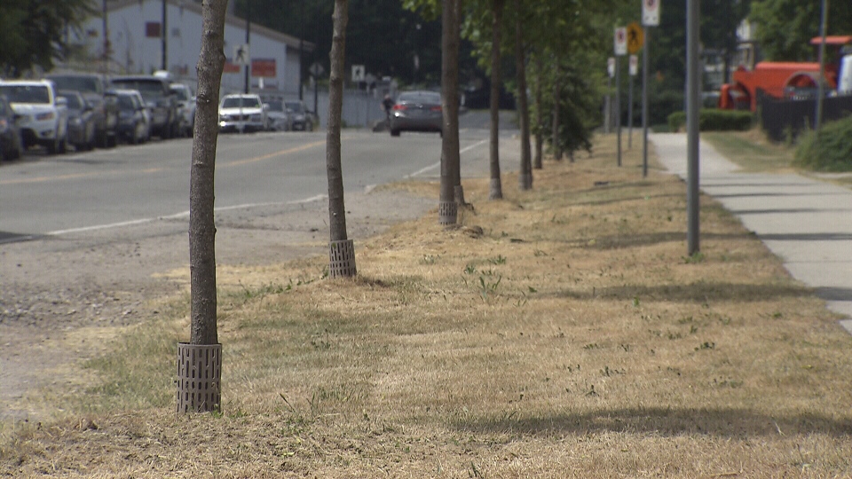
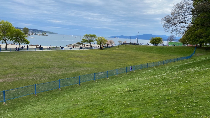
British Columbia's South Coast saw its driest May in recorded history due to a large ridge of high pressure, Environment Canada says.
According to meteorologist Lisa Erven, Vancouver usually sees about 65 millimetres of rain during the month.
This year, however, the Vancouver International Airport has only reported 1.6 millimetres in the past 31 days. That's only 2.5 per cent of what's considered a normal amount of precipitation.
"In general, if you look at the statistics, it’s very unusual for Vancouver to see less than 10 millimetres of rain for the entire month of May," she told CTV News Thursday.
The previous record was set in 2015 at 4.2 millimetres of rain for the whole month. May of 1946 was the third driest with a total of 8.4 millimetres.
"We’ve been under a very dominant, big, blocking ridge of high pressure that hasn’t just lasted days at a time, but also weeks at time," Erven said.
This May has also been one of the warmest ever for several communities across the province.
"It’s been one of the driest Mays on record for many communities, but also one of the hottest Mays on record for communities right from Vancouver Island, to Cranbrook and right through the central Interior," Erven said.
Abbotsford tied for hottest May ever with an average temperature of 15.5 for the month, the same as in 1993. This was the city's third driest May.
While no records were broken in Vancouver, this was the second hottest on record at an average temperature of 14.9 C. The record, set in 1958, was 15.2.
It was Victoria's second warmest and second driest May.
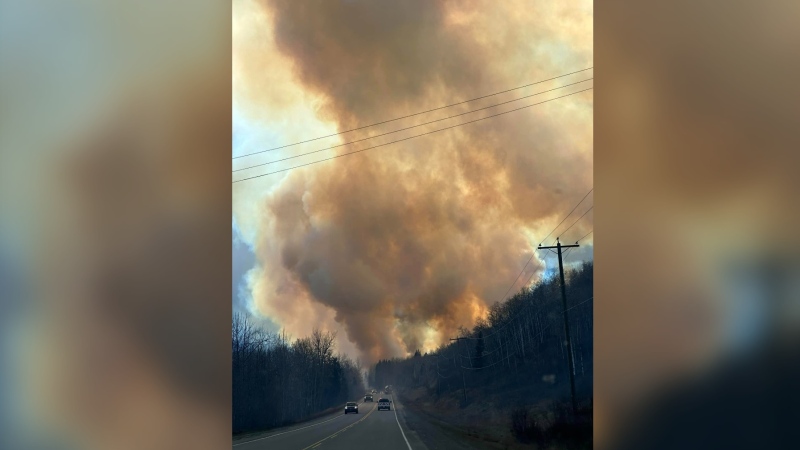
The unseasonable weather has sparked concern among officials with the BC Wildfire Service who say the province could be in for a long and extreme wildfire season if conditions don't change.
Three "wildfires of note" have already scorched thousands of hectares near Peace, Kamloops and Lillooet.
But with two days of reprieve from the unseasonable weather this week, B.C.'s chief fire information officer remains hopeful the dry spell was just "a blip" in the forecast.
"From a wildfire perspective, that's going to be welcome," Kevin Skrepnek said. "We've been seeing unusually high temperatures—six to 10 degrees above normal—really for the past month across most parts of B.C."
Despite the warm, dry weather, Skrepnek said it's too soon to predict what kind of wildfire season the province will experience, adding that weather in June could significantly alter the outlook.
"June is a real critical month," he said, adding that despite a wet spring last year, a dry June set the stage for the most destructive wildfire season in the province's history.
But the soaring temperatures and lack of rain have been good news for some.
"We have had probably the busiest May that I can ever remember and I've been in this industry almost 20 years now," said Laura Doheny of Hunters Garden Centre on West Broadway.
"We definitely see an increase in people looking for what we call water wise plants—things that can handle more drought conditions."
But Erven said the province hasn't avoided spring showers just yet.
"The weather that we would expect to see this time of year is finally going to take place as we now move into June," she said.
According to Environment Canada's forecast, showers are expected to hit Metro Vancouver on Sunday and last until at least Wednesday. The rain is expected to start as early as Friday in parts of the Fraser Valley.
And for those worried about wildfires, the timing is absolutely crucial.
"The amount of rain we get in June, how it falls, where it falls and how long into the summer it lingers for—that's going to be a real key driver of how July and August, our key fire season, goes forward," Skrepnek said.
With files from CTV Vancouver's Breanna Karstens-Smith

