Dozens on evacuation alert amid flooding concerns in Fraser Valley
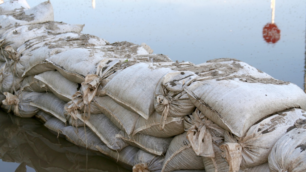 Sandbags used to stop flood waters. (Shutterstock)
In the wake of the region's first heat wave of the year, evacuation alerts have been issued for dozens of properties in the Fraser Valley due to flooding concerns.
While B.C.'s River Forecast Centre has not issued any flood watches or warnings for waterways in the area, a high streamflow advisory is in effect for the Lower Fraser River from Quesnel downstream, including Big Bar, Boston Bar, and the Fraser Valley from Hope to the ocean.
"Snowmelt … has been rapid, with two-thirds of the annual snow accumulation now melted. Flows on the Fraser River are anticipated to remain well above normal for this time of year over the next several weeks," the advisory says.
"Over the next week or so in particular, risks for rising flows will mostly be driven by rainfall on top of already high river levels from snowmelt runoff."
In the Township of Langley, an evacuation alert has been issued for "the low lying unprotected areas" in Northwest Langley, Fort Langley and Glen Valley. The number of properties is not indicated but a map has been provided. In addition, the township says notices will be hand-delivered to affected properties.
In Abbotsford, 20 properties in the Glen Valley area have been placed on alert, with residents urged to start preparing for the possibility of an order to leave being issued.
"Residents will be given as much advance notice as possible prior to evacuation; however, you may receive limited notice due to changing conditions," the alert says.
Further east, the threat of flooding from the Harrison River has prompted an alert for 40 properties in the Harrison Mills area. Sand and sandbags are available to people in the area.
The Fraser Valley Regional District's Emergency Operations Centre has been activated.
"The Fraser Valley Regional District is notifying residents about high river levels this week and into the Canada Day long weekend," an update Monday said, noting the potential for flooding of both the Fraser and Harrison rivers.
"The FVRD cautions residents living in floodplain areas, especially those not protected by dikes, to monitor water levels and keep away from river edges and shorelines. During periods of high flow, river banks may be unstable and more prone to sudden collapse."
Elsewhere in the province, severe thunderstorm watches cover a huge strip of the central and southern interior – from the Bulkley Valley south to the Okanagan and Elk Valley.
The unsettled weather, which could include strong winds, hail and torrential rain, has prompted the River Forecast Centre to issue a high streamflow advisory for waterways east of Vernon, Kelowna and Penticton.
It says conditions in Okanagan creeks are relatively high due to delayed snowmelt and recent heavy rain, and sudden rises or flooding are possible in response to downpours.
Thunderstorm watches also cover the area east of Williams Lake where sections of the Quesnel River remain under a flood warning.
With files from The Canadian Press
CTVNews.ca Top Stories
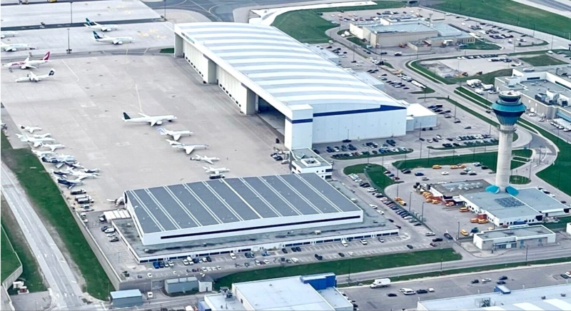
BREAKING Police to announce arrests in Toronto Pearson airport gold heist
Police say that arrests have been made in connection with a $20-million gold heist at Toronto Pearson International Airport one year ago.
LIVE @ 4 EDT Freeland to present 2024 federal budget, promising billions in new spending
Canadians will learn Tuesday the entirety of the federal Liberal government's new spending plans, and how they intend to pay for them, when Deputy Prime Minister and Finance Minister Chrystia Freeland tables the 2024 federal budget.
Proposed class-action lawsuit against Shoppers Drug Mart alleges 'unsafe and unethical corporate practices'
Shoppers Drug Mart is facing a proposed class-action lawsuit by current and former franchise owners at the retail chain who allege parent company Loblaw engaged in corporate practices that placed them in an “irredeemable conflict of interest” and put patient care at risk.
Lululemon unveils first summer kit for Canada's Olympic and Paralympic teams
Lululemon says it is combining function and fashion in its first-ever summer kit for Canada's Olympians and Paralympians.
Outdated cancer screening guidelines jeopardizing early detection, doctors say
A group of doctors say Canadian cancer screening guidelines set by a national task force are out-of-date and putting people at risk because their cancers aren't detected early enough.
Canada's health-care crisis was 'decades in the making,' says CMA
The strain placed on Canadian health care during the COVID-19 pandemic shows no sign of abating, and the top official of the Canadian Medical Association (CMA) is warning that improving the system will be a 'slow process' requiring sustained investment.
'I just started crying': Blue Jays player signs jersey for man in hospital
An Ontario woman says she never expected to be gifted a Blue Jays jersey for her ailing husband when she sat alone at the team’s home opener next to a couple of kind strangers.
Mussolini's wartime bunker opens to the public in Rome
After its last closure in 2021, it has now reopened for guided tours of the air raid shelter and the bunker. The complex now includes a multimedia exhibition about Rome during World War II, air raid systems for civilians, and the series of 51 Allied bombings that pummeled the city between July 1943 and May 1944.
B.C. woman facing steep medical bills, uncertain future after Thailand crash
The family of a Victoria, B.C., woman who was seriously injured in an accident in Thailand is pleading for help as medical bills pile up.


